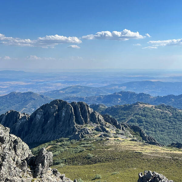
The rugged district of Las Villuercas represents an orographic core surrounded by ancient peneplains, and constitutes of a series of parallel ridge-and-valley systems aligning in a northwest-southeast direction. It was folded during the Hercynian orogenic movement, leveled by erosion throughout the Mesozoic and Cenozoic eras, and rejuvenated by fracturing with the rising and falling of blocks during the Alpine orogenic movement. Finally, the embedding of the current river network in this intensely folded and fractured territory has configured the main geomorphologic characteristic of the region, which is generally referred to as “Appalachian relief” as an analogy with the peneplain relief forms to be found in the Appalachians of North America.
Enjoy a breathtaking sunset
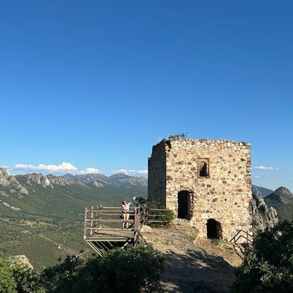
The highest peak in Las Villuercas is just 6km away from Guadalupe. At the top there is an abandoned American Military Base, it can be accessed by car all the way to the Heli pad at the top. We would highly recommend doing so at the end of the day to enjoy a seriously stunning sunset.
Bird watching
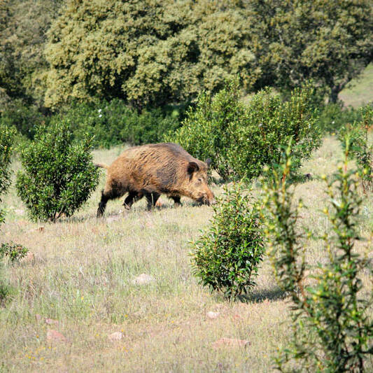
As you drive or walk around Las Villuercas you will most likely encounter wild animals, and a lot of birds of prey. Keep your eyes open for seriously big Eagles and Vulture colonies.
More info: https://geoparquevilluercas.es/en/


